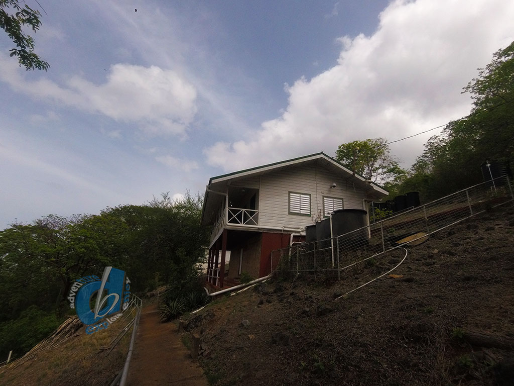
Gasparee Island
Gaspar Grande or Gasparee is an island in the Republic of Trinidad and Tobago.
1.29 km2 (0.50 square miles) in area and lies 12 km (7.5 mi) west of Port of Spain.
In 1783, Gaspar Grande was granted to Gaspar de Percín Roque by Governor José María Chacón hence its name.

It is one of the “Bocas Islands”, which lie in the Bocas del Dragón (Dragon’s Mouth) between Trinidad and Venezuela.
The Gaspar Grande is a 25-minute boat trip from Port of Spain or 15 minutes from Chaguaramas.
This island is primarily limestone, and reaches a height of 121 metres (397 ft) at its highest point.
Vegetation on the island includes the Yellow Poui, Giant Cactus, Hog Plum, Silk Cotton, Agave, Manicou Fig, Naked Indian, Pelican Flower, Queen-of-the-Forest (Filipendula occidentalis), Cow Itch, Sugar Apple and Salt-fish Wood.
Gaspar Grande to the Gasparee Caves, a natural limestone cave system with a mysterious salt-water pool at its base.

Gasparee Caves
Gasparee Caves is a natural system of limestone caverns and caves created by millions of years of wave action and slightly acid rain on the island of Gaspar Grande.
The largest of these caves is known as the Blue Grotto and was open to the public in 1981.
The cave contains interesting stalagmite and stalactite formations, which have been given nicknames such as “The Buddha”, “Virgin Mary” and “The Lovers”.
At the bottom of the Blue Grotto (100 feet underground) you will find a mysterious clear tidal pool.
Although swimming is officially prohibited, if you are lucky your guide may allow you to take a quick dip – which is an awe inspiring experience for those so lucky.

Rotating Guns
Also on the island you can go visit the remains of rotating guns left behind from world war one or two at the very top of the island.
Gaspree is managed by the Chaguaramas Development Authority (CDA) and you can contact them for you guided tour or day pass to the island.

