

Lopinot Village:
Our scout would take us onto what is known by many Fusion competitors (Fusionites) as Camel’s Back, a name given due to the shape of the hills as shown on the map of the trail seen in the Google map below.
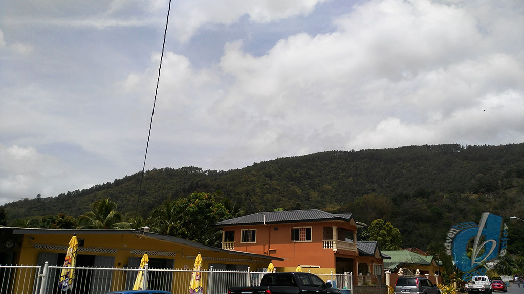
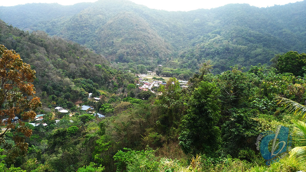
Scouting with Caribbean Hiking Adventures took us to the village of Lopinot, a beautiful community located on the foothills of the northern range.
The village is known for its cocoa estates, and historic building from the 1970’s, more on the history could be found here.
For fusion they did a loop of thirteen kilometers, across the hills and down the main road, however we only scouted the hills or humps.
Camel’s Back
The First Hills
Leaving a vehicle on either side, we did the reverse starting on the Southern side with the smaller or the two hills.
Don’t be fooled when I say smaller hill, it took us approximately thirty two minutes moving time to reach to the top of the first hill.
Moving time doesn’t include rest so that might turn out to be forty-five minutes of hill.
Seem like more, because all you can see in front of you is hill, and no sky when you look up.
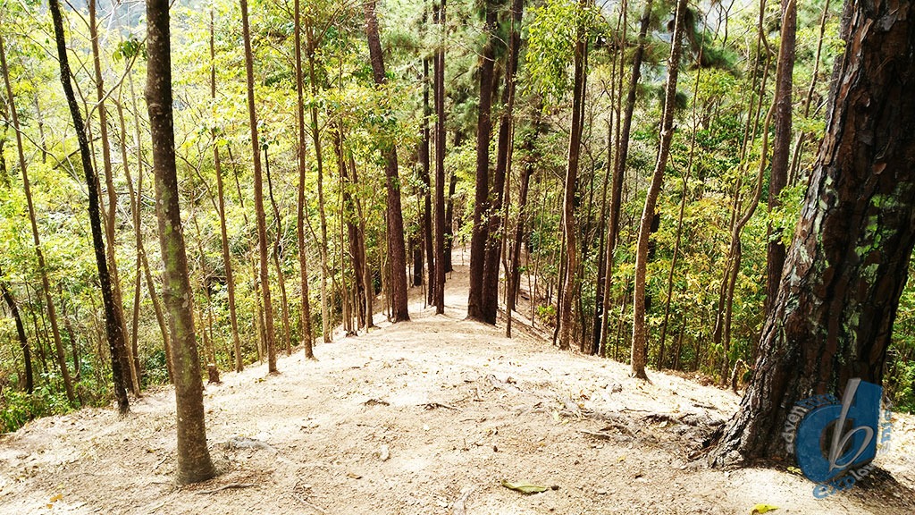
The path was easy to navigate, it seemed to be a fire trail along the ridge, cleared and full view of the blazing sun.
The first hill is a combination of peaks, so after you cross the first peak and you think its downhill, think again five minutes later more hills.
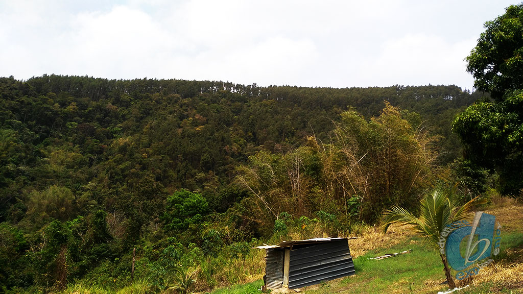
The decent of the first hill would take about twenty minutes down to this nice cozy shed for a five-minute break and them off to the other hill.
The Second Hill
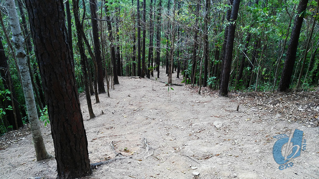
The second hill however, would play games with you, every time you reach a flat spot which would make you believe you are at the top, don’t hold your breath, just know if you are not in the pines you still have to go up.
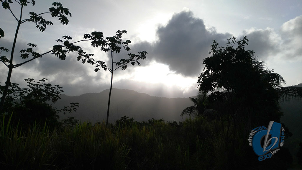
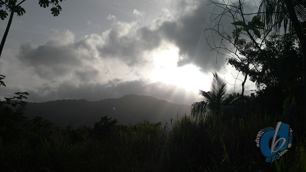
Thirty minutes from the start you would reach the pines, and boy oh boy reaching the pines is no relief, at this point you would be questioning life and calling for the lord savior.
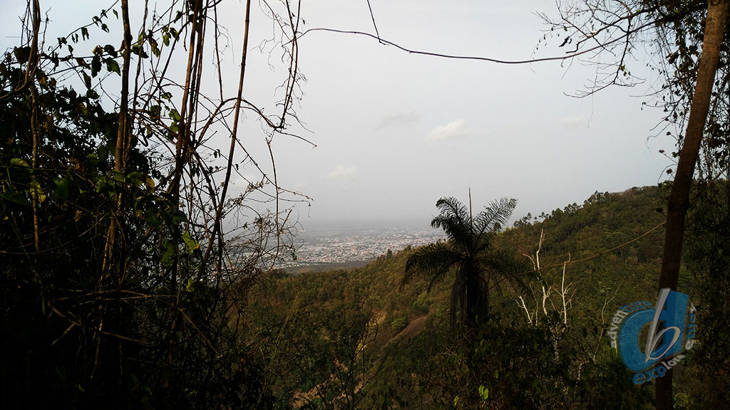
The one thing I would say is the view from the top is pretty awesome, and the breeze across the ridge is so cool, but those hills are not for the weak of heart and mind.
Down the steep hillside through the pines slipping on their leaves to the vehicle, I believe everybody was glad to reach under the mango tree to get some shade after that trail.
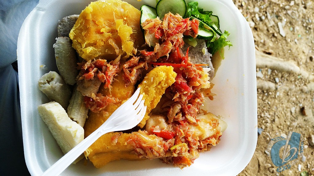
The Food
Tanned and broken after the tough hills we indulged in some amazing food from the lady next to the bar on the corner by the ground. These country people really know how to cook a good pot.
I shall return to conquer the Camel’s Back soon again 6 km in distance, 2:50mins total time and 755m in elevation.